


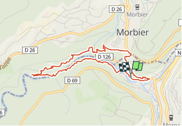

13,8 km | 18,4 km-effort

Benutzer


Kostenlosegpshiking-Anwendung
 SityTrail
IGN / Geografische Institute
SityTrail World
Die Welt öffnet sich für Sie
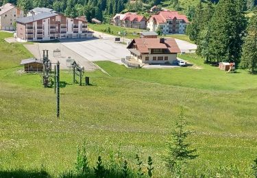
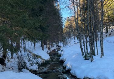
Tour Wandern von 4,7 km verfügbar auf Burgund und Freigrafschaft, Jura, Hauts de Bienne. Diese Tour wird von fizz1212 vorgeschlagen.
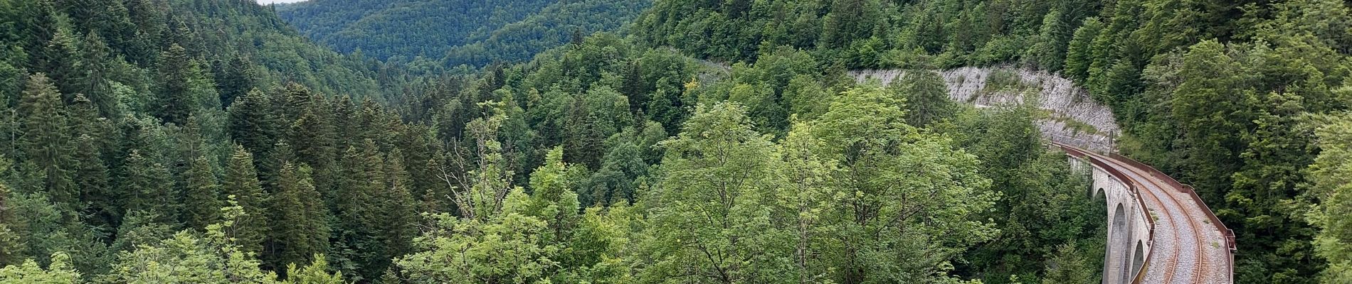
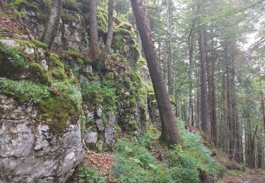
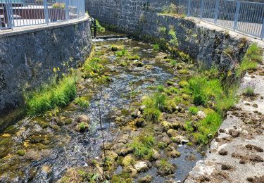
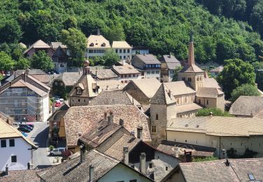
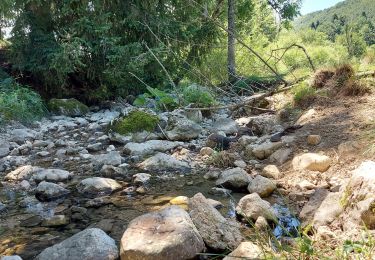
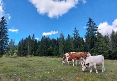
Vous allez decouvrir des ponts de singe, des sentiers escarpés et de jolis paysages de la vallée de la Bienne, sans oublier le trou bleu.


Schneeschuhwandern
Wandern
Radtourismus
Radtourismus
Radtourismus
Wandern
Wandern
Wandern
Schneeschuhwandern